Risk management plan
The aim of the EU Floods Directive is to reduce the adverse effects of floods on human health, the environment, cultural heritage and economic activities. Processing takes place in 3 steps, which are updated in 6-year cycles. The results published here are valid for the implementation period 2022 - 2027.
Flood events in the past have repeatedly shown that technical protection measures reach their limits, such as along the Danube in 2002 and 2013. Flood hazards must be treated with a comprehensive approach. The present flood risk management plan identifies potential flood hazards and defines suitable measures to minimise them.
In addition to technical flood protection, all relevant sectors, such as spatial planning, building regulations, disaster control, agriculture and forestry, ecology, nature conservation and awareness-raising, as well as their planning and measures, must be taken into account. The joint and harmonised approach is intended to reduce existing risks and avoid new risks. The public, interest groups and local stakeholders must also be involved in effective flood risk management in the best possible way.
Overview of the RMP2021
This second national Flood Risk Management Plan, RMP2021, was drawn up in accordance with the requirements of Directive No 2007/60/EC of the European Parliament and of the Council on the assessment and management of flood risks (EU Floods Directive). The Directive was implemented in the Water Rights Act (WRG1959) and provides for three steps:
- Carrying out a preliminary flood risk assessment
- Preparation of flood hazard maps and flood risk maps
- Preparation of a flood risk management plan
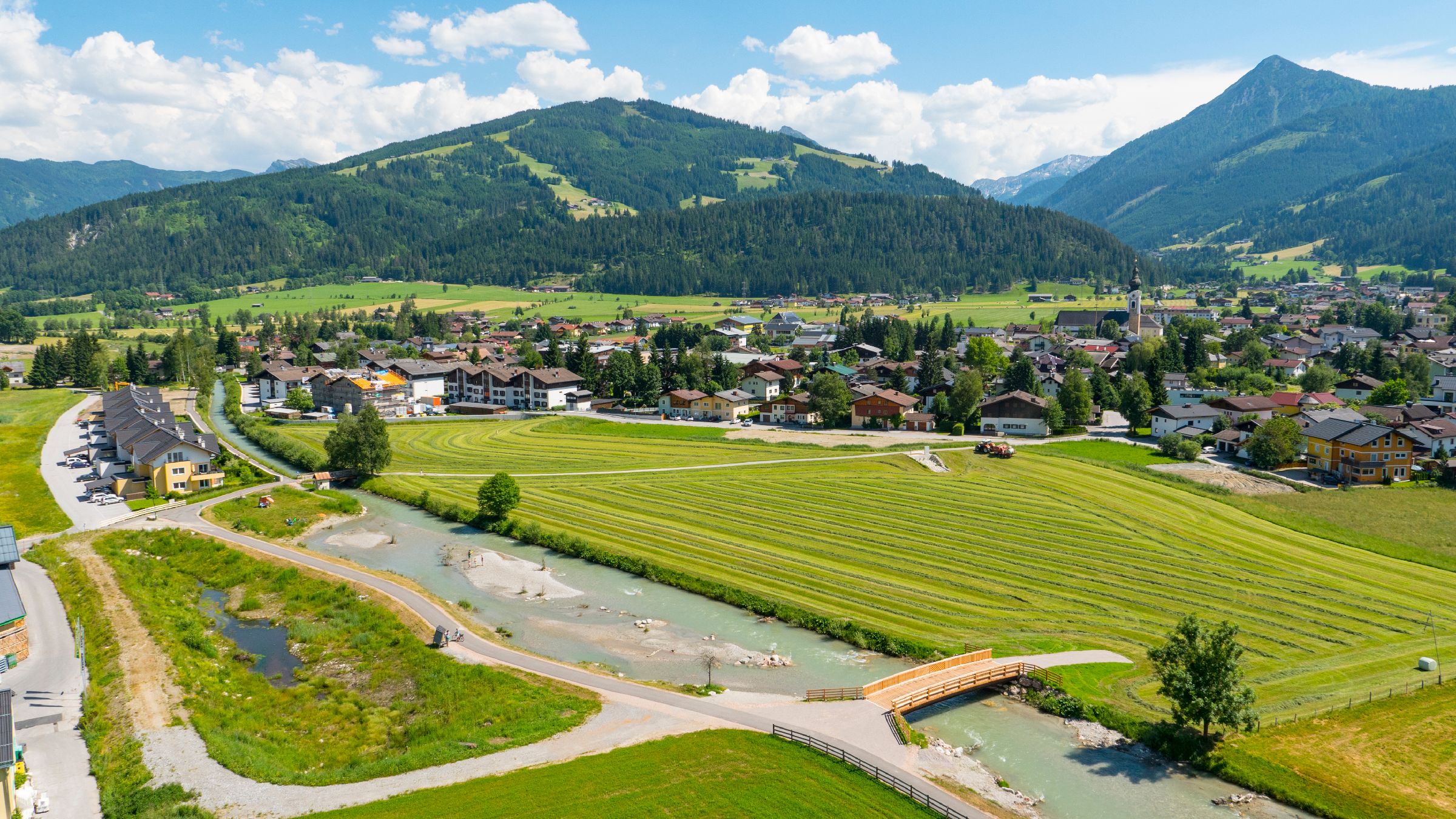
In the first step, on the basis of the whole federal territory, areas with a potentially significant flood risk ("risk areas") were identified on the basis of a preliminary risk assessment. In particular, municipalities with more than 500 people potentially affected by flooding, are defined as significant. In Austria, 416 risk areas have been designated, which run along 3,000 kilometres of river and cover 772 municipalities and/or Viennese municipal districts. Floods in areas that do not meet the significance criterion are assessed via regional and local planning instruments and are not part of the national flood risk management plan.
As a second step, the following Flood Hazard and Flood Risk Maps were drawn up for the 416 risk areas (and beyond). The maps refer to flood events with different probabilities of occurrence (30, 100 and 300-year floods) and show flooded areas, water depths, flow velocities and the affected buildings, land use and critical infrastructure. The maps form an essential basis for the creation of the RMP2021 flood risk management plan.
The third step, the Flood Risk Management Plan and the programmes of measures it contains for the individual risk areas, must include measures to achieve the appropriate flood risk management objectives in accordance with the Water Rights Act. The measures comprise both structural measures, such as flood control dams and retention basins, but in many fields also non-structural planning measures (spatial planning, building regulations, and disaster control), management (agriculture and forestry) and awareness raising. The flood risk management plan describes these measures, explains the implementation process and provides recommendations for action. Budget planning for the implementation of individual measures does not take place within the framework of the flood risk management plan.
All three steps must be reviewed and, if necessary, updated every six years in order to take account of experience, changed framework conditions and new databases in the overall process. For this reason, there have also been changes to the risk area mapping compared to the RMP2015.
The national flood risk management plan is a strategic, overarching planning instrument that is coordinated with those administrative areas and interest groups that are responsible for flood risk management. It is prepared in close cooperation with the Federal Provinces as the agency responsible for regional water management and in cooperation with other participating agencies of the Federal Ministry of Agriculture, Regions and Tourism, in particular the Forest Engineering Service for Torrent and Avalanche Control (WLV) with regard to torrents, the Federal Ministry for Climate Action, Environment, Energy, Mobility, Innovation and Technology (BMK) with regard to federal waterways and the Federal Ministry of the Interior (BMI) with regard to disaster control.
Evaluation of the RMP2015
The evaluation of the RMP2015 programme of measures and, building on this, the development of the RMP2021 programme of measures, which is to be implemented by 2027, was one of the central tasks of the planning process. The evaluation shows that the objectives, which were partly ambitious, were met and, where necessary, adapted due to changed framework conditions and prioritisation.
The flood risk management plan thus comprises all activities of the previous implementation cycle, creates a forward-looking plan for the coming cycle (2022-2027) and, at the same time, identifies options to reduce the flood risk and, in particular, the residual risk in the event of overload or failure. The RMP2021 refers in this context to relevant planning and implementation processes, but does not replace them.
Coordination process on RMP2021
On the part of the Federal Ministry, intensive coordination took place with the Federal Provinces, particularly in the areas of regional planning, spatial planning, building regulations, building technology law, disaster control and nature conservation, which fall within the scope of responsibility of the Federal Provinces. Transboundary aspects were coordinated within the framework of the bilateral transboundary water commissions and the international water protection commissions.
Measures within the framework of RMP2021
The RMP2021 presents all options within the framework of flood risk management, including those not within the sphere of competence of the Federal Ministry. The plans and measures relate in particular to the sectors of hydraulic engineering, water management, torrent control, spatial planning, building regulations, disaster control, agriculture, forestry, ecology, nature conservation and awareness-raising. However, the focus of the planning and implementation priorities at the level of the risk areas should not obscure the fact that many of the measures addressed in the programme of measures apply nationwide or Federal Province-wide. Thus, for example, the creation of hazard zone plans is not limited to risk areas, but must always be drawn up in these prioritised areas.
For the purposes of an integrated planning approach, both the coordination with the environmental objectives according to the EU Water Framework Directive as well as the consideration of possible effects of climate change in the EU Floods Directive is required.
Measures outside the risk areas and/or measures with no effect on them are not covered by the programme of measures and are primarily implemented and evaluated via catchment area-related planning. They can be implemented within the framework of financing in accordance with the Hydraulic Engineering Promotion Act via the construction programmes of the Federal Provinces, but also within the framework of the Rural Development Programme, the Environmental Promotion Act, etc.