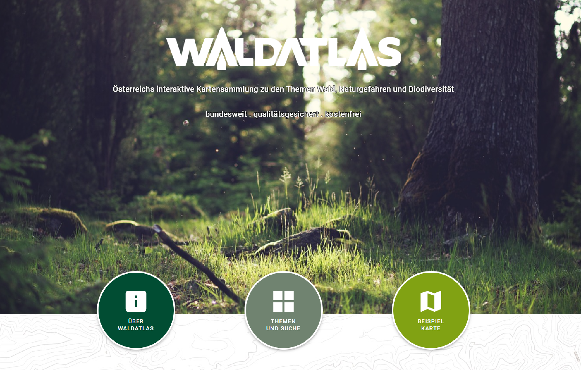
The WALDATLAS - the platform for spatial data on forests
The WALDATLAS platform for spatial information is the first interactive map collection for nationwide, quality-assured and free spatial representations in forests.
Spatial data on forests, natural hazards and biodiversity
Geographic information systems (GIS) and portal systems are nowadays priority instruments for the control and provision of spatial data. As part of the Federal Government's digitisation offensive, the urgent need for an integrated, uniform and central Austrian platform for spatial data on forests has been recognised. With WALDATLAS, the Federal Ministry of Agriculture, Forestry, Regions and Water Management (BML) is creating a nationwide access point to free spatial data on forests, natural hazards and biodiversity.
Getting to know the forest digitally
In addition to PC and notebook, the application can also be used on mobile devices (mobile phones, tablets) in the field. This means that the WALDATLAS can be used anywhere. The only requirement is internet reception. In addition to a map collection, WALDATLAS also contains a wide range of user-friendly functionalities. For example, users have at their disposal tools for measuring and drawing, importing and exporting lines, areas and points, and a print module. Metadata can also be retrieved from all basic and specialised maps.
In addition, by setting a coordinate point, it is possible to retrieve all specialist maps via the spatial data catalogue. The location is retained when another map is selected.
Click here to go directly to the WALDATLAS

The WALDATLAS complements existing GIS systems and platforms of the Provinces and of other stakeholders at supra-regional level.
The added value of the digital WALDATLAS encompasses the general spatial information but also, in the operational area, that it can serve as a planning basis for practical use.
The interactive map collection offers digital and central access to spatial data, primarily for forest owners, forest enterprises, civil engineering offices, authorities, research/science, recreational use in forests as well as for the interested public.
Currently, around 40 specialised maps are available. They are supported by basic maps (topographic maps, orthophoto, geology, Open Street Map, cadastre) providing background information. The aim is to offer quick and transparent access via a spatial data catalogue. This catalogue is available in a freely accessible mapping tool as a user-friendly view and search service.
All spatial data shown is quality-controlled and trustworthy and originate from the public administration (especially the BML) and from co-operation partners. Many data sets have been implemented from open data interfaces or from the Infrastructure for Spatial Information in the European Union (INSPIRE). Updates and upgrades are carried out by the BML on regular effective dates. In the future, the service-orientated spatial data platform will be further developed with expansion stages.
