Hazard Zone Plan – What is that?
The Hazard Zone Plan is an instrument to represent hazards in various catchment areas. The Hazard Zone Plan, briefly also HZP, is prepared by the staff members of the Federal Forest Engineering Service in Torrent and Avalanche Control.
By means of an inspection of the catchment areas, research in chronicles, assessment of “silent witnesses“, evaluation of various theme maps (geology, hydrology, morphology, etc.) and calculation (partly simulation) of a 150 years design event, the Hazard Zone Plan (briefly HZP) can be established.
The Hazard Zone Plan is available at the respective municipality, the competent district administrative authority, the competent Provincial Government, and the Forest Engineering Service in Torrent and Avalanche Control (original) for public inspection.
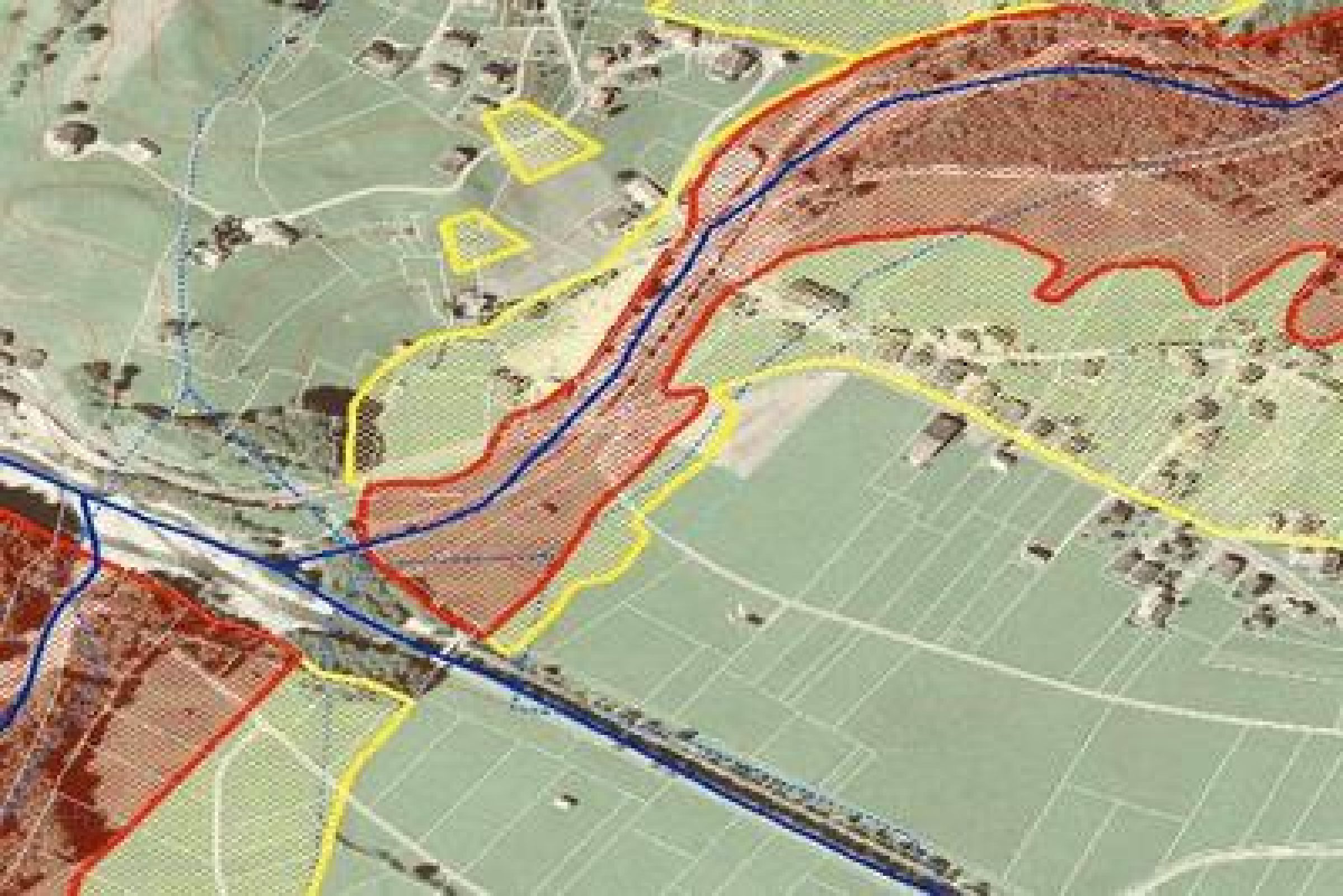
A Hazard Zone Plan contains red and yellow zones. The red hazard zone comprises those areas within the “regionally relevant area” of the area of a municipality where the identified potential hazards are so big or occur so frequently that the permanent usability as settlement or transport areas doesn’t seem to be possible or can only be achieved by means of unproportionately high efforts.
In the yellow hazard zones it is only permitted to build something in compliance with the requirements to be met within the framework of an individual expert opinion of the competent regional headquarter.