Water WebGIS

The Water WebGIS applications contain the maps as well as additional information of the National Water Management Plan, the Flood Risk Management Plan, the surface water emission register, on natural hazards and on Austria’s hydrography.
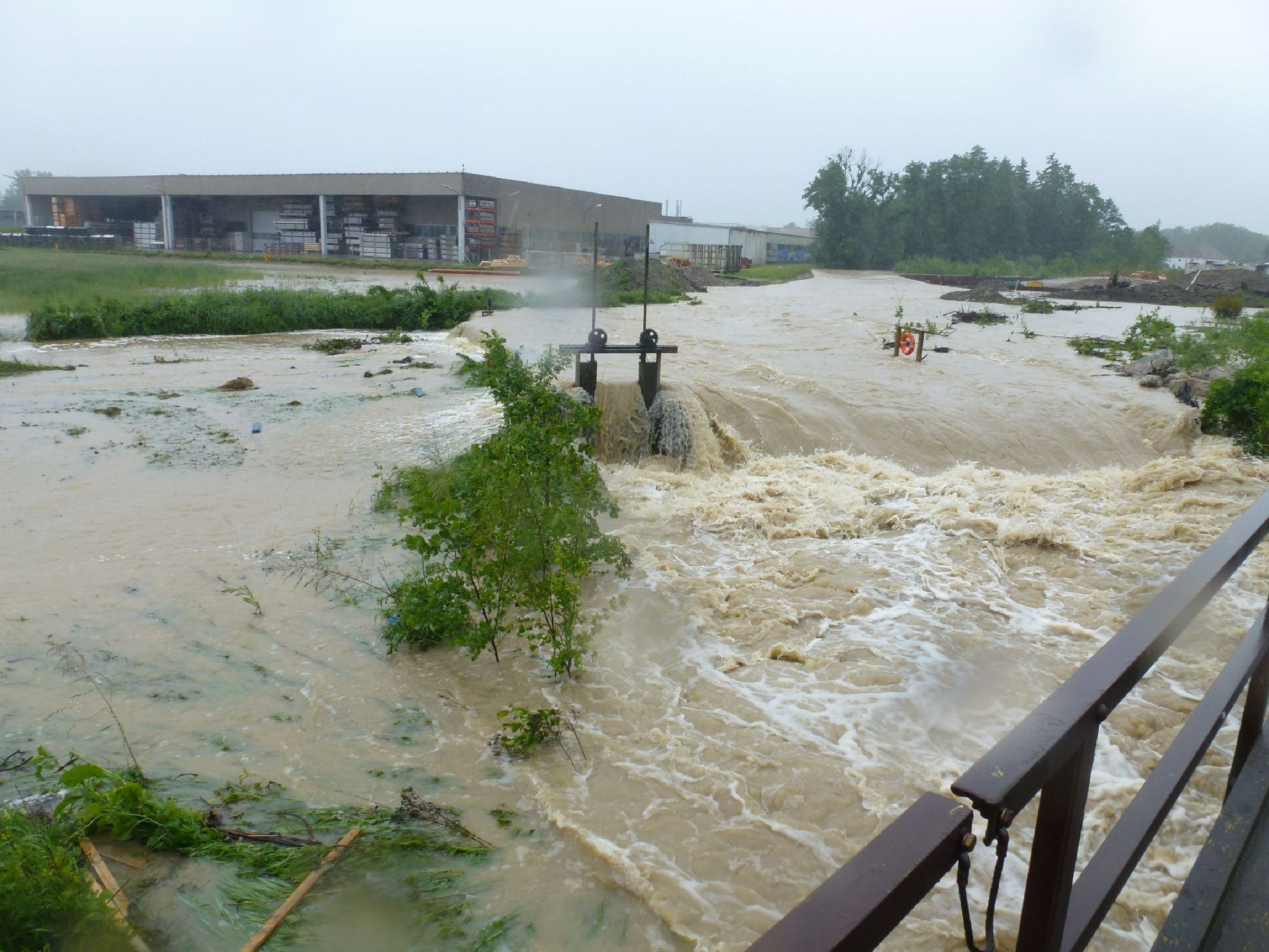
Flood hazard and risk maps
The maps show areas with potential significant flood risk, the inundation areas caused by floods with a high, medium and low probability and associated process intensities, such as water depth and flow velocities, as well as the risk maps visualising impacts on different objects of protection.
- Hochwassergefahren- und Risikokarten - Flood hazard and risk maps (in German only)

National Water Management Plan
The maps for the National Water Management Plan 2021, the National Water Management Plan 2015 and the National Water Management Plan 2009 show the respective contents for rivers, lakes and groundwater as well as for protection and conservation areas. Furthermore, data sheets for each water body are available via the web GIS application.
- Nationaler Gewässerbewirtschaftungsplan 2021 (in German only)
- Nationaler Gewässerbewirtschaftungsplan 2015 (in German only)
- Nationaler Gewässerbewirtschaftungsplan 2009 (in German only)
Emission register for surface water bodies
The maps show the most recent data that are available in the emission register for surface water bodies (in German “Emissionsregister Oberflächengewässer”, abbreviated “EMREG-OW”, Federal Law Gazette II 2017/207 as applicable). General master data of the EMREG-OW plants (e.g. design value of the plant, industrial sector) and average emission data of selected substances of the past six years are displayed.
- Emission register for surface water bodies (EMREG-OW) (in German only)
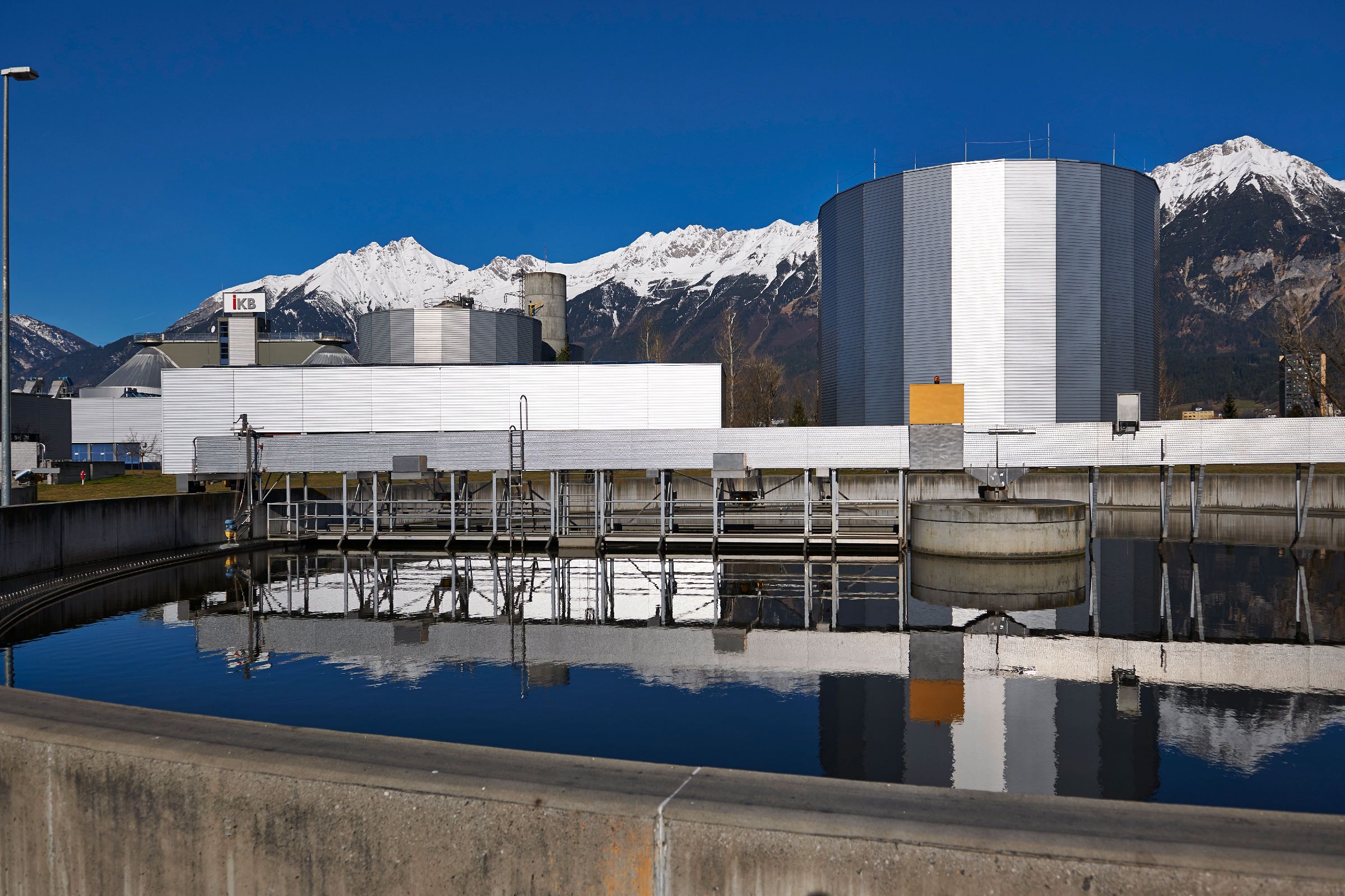
Hydrography
eHYD provides current data from about 700 precipitation, run-off and groundwater measuring sites in Austria. With eHYD Mobil an overview of Austria’s current water balance parameters is now available as a web app for smartphones and tablets, which also shows the levels in the vicinity of the location.
- eHyd - Daten zur Hydrology (in German only)
Natural hazards
The HORA (Natural Hazard Overview and Risk Assessment Austria) map displays are used for initial information and current weather warnings about possible hazards from various natural hazards. The HORA risk map enables each individual citizen to quickly and easily obtain an initial assessment of his or her personal hazard situation at the click of a mouse. A total of eight natural hazards (floods/ avalanches/ earthquakes/ landslides/ storms/ lightning/ hail/ snow) can be displayed.
- HORA Naturgefahren (in German only)